September 12, 2022 - Maine Foliage Flight
Millinocket -- Canadian Border -- Atlantic Ocean

Another look at the Hotel Terrace in the morning.  They have a restaurant that serves breakfast and lunch so I enjoyed an excellent breakfast before hoofing it up the road to the airport.
   
On the way I passed these cottages that you can stay in.  After reading reviews on Google I'm glad I didn't.
   
Rock memorializing the Civil Conservation Corps role in building the airport back in the 30's.
   

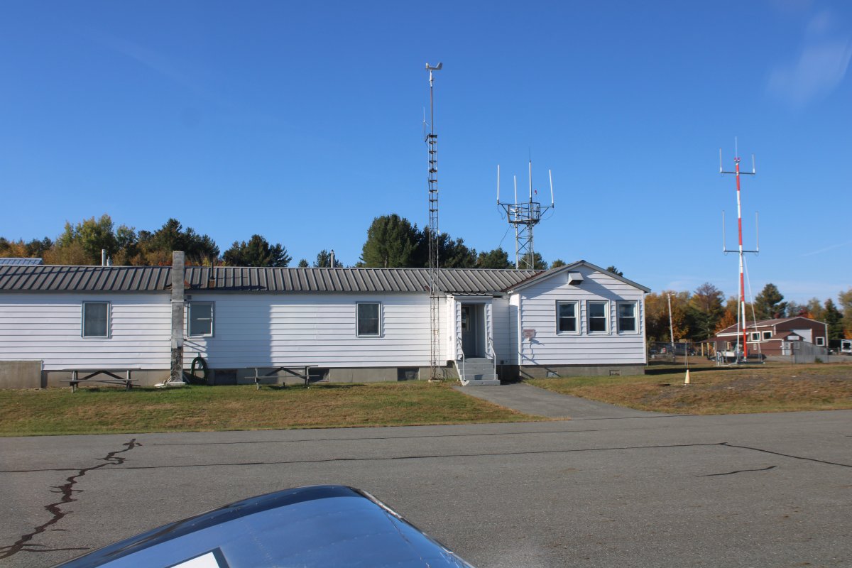
Passing by the FBO Building/Pilot Lounge as I taxi for takeoff.

The plan today was to fly east back to the Canadian Border about where I left of yesterday.  Fly the border south to the Atlantic Ocean, then fly southwest along the coast to Brunswick, Maine.  Then from there I'd just do a high-altitude transit home.

   
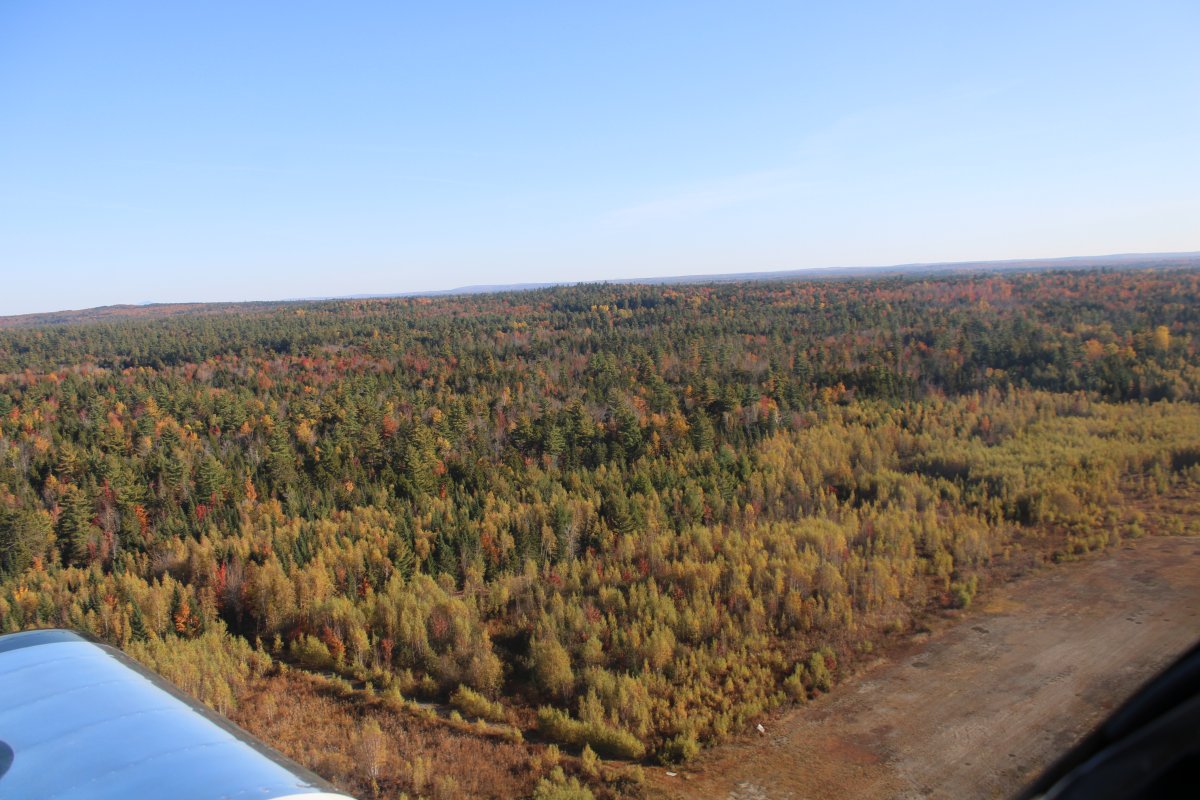
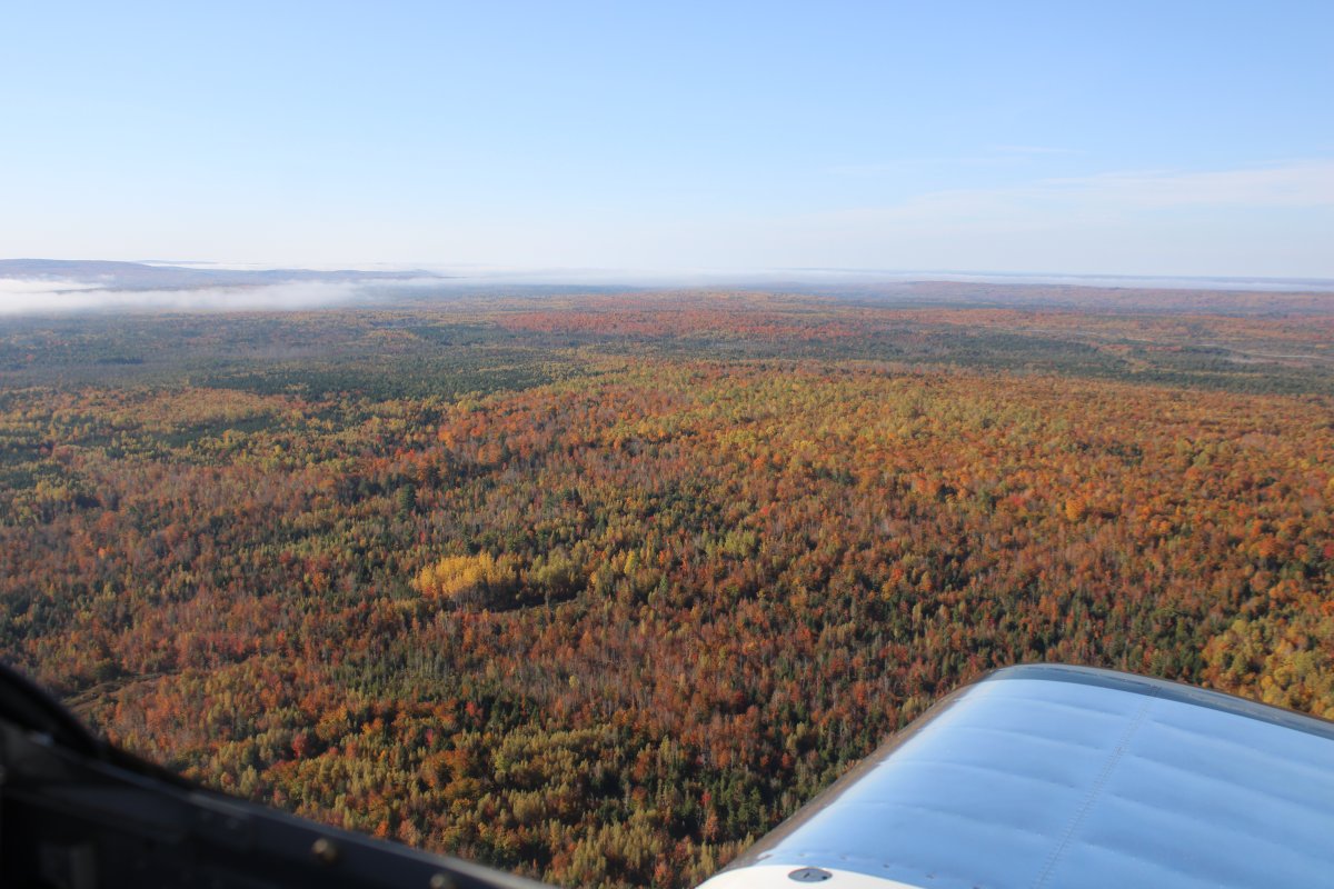
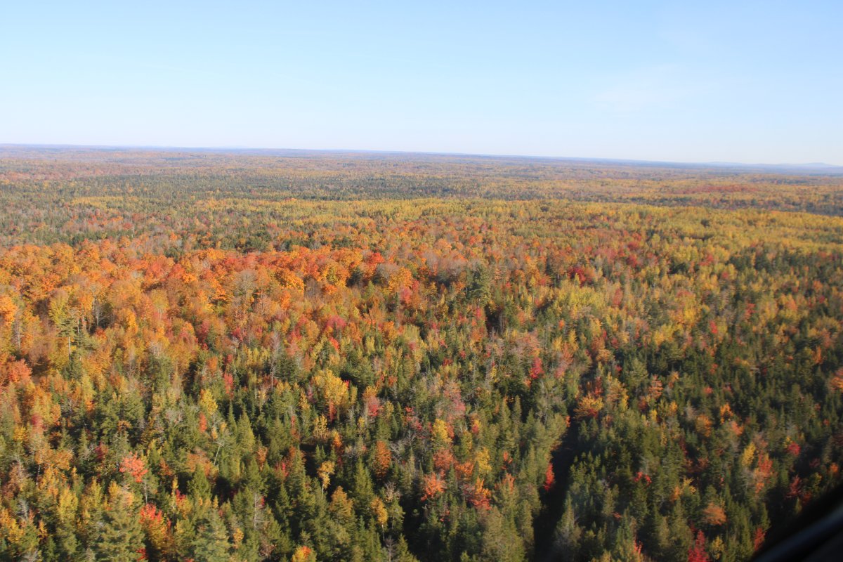
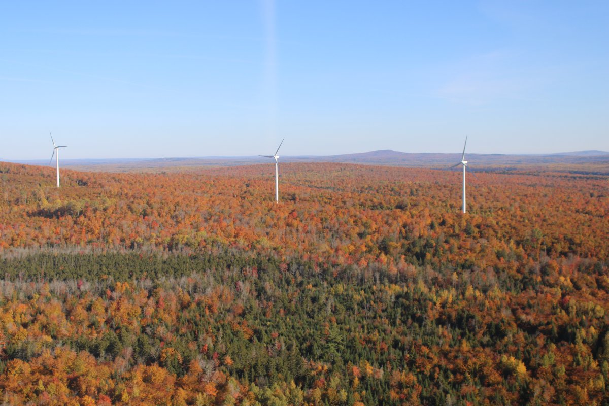
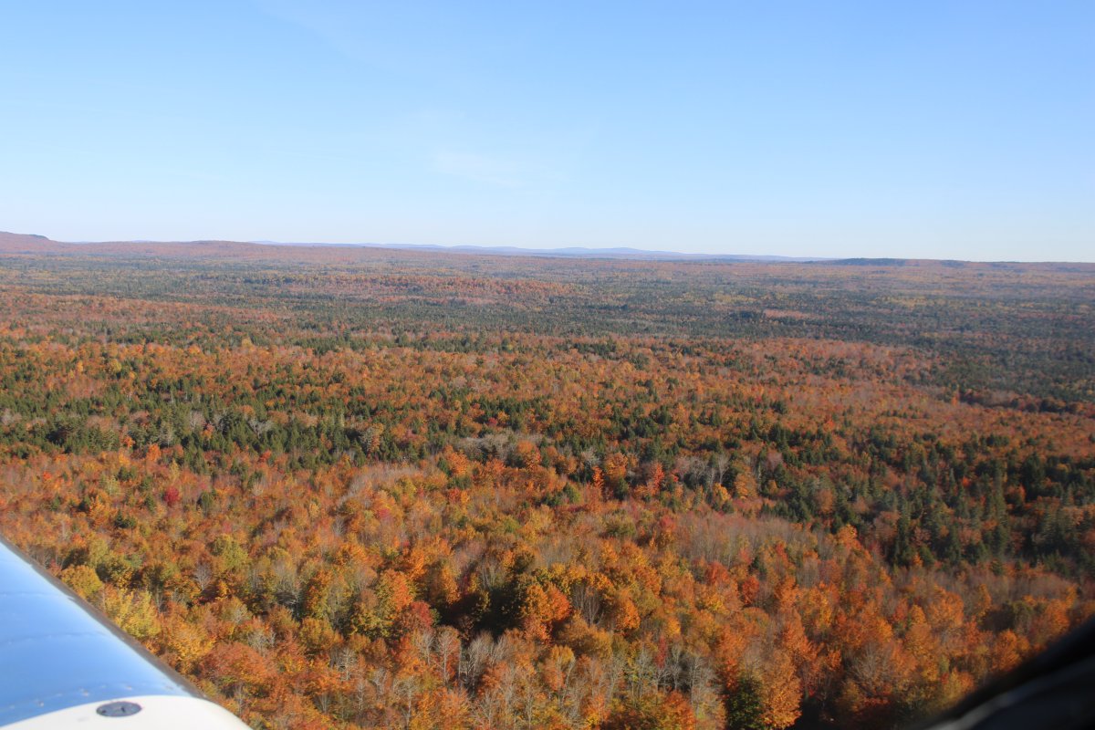
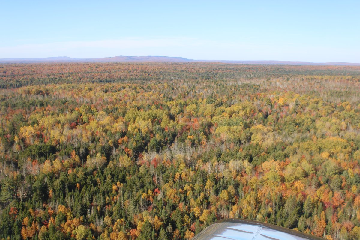
Airborne over a sea of trees.  Millinocket Airport worked out great as a base of operation for the Maine foliage flight.  I'll be back next year.
   
Heading due east and about to cross Dolby Pond.
   
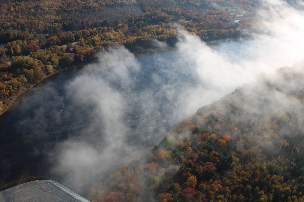
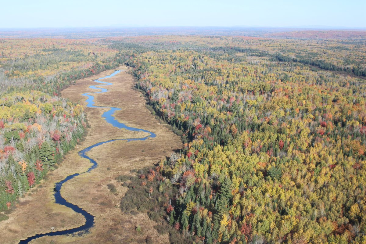
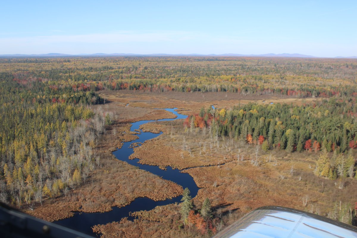
Now following the Penobscot River.
   
Pretty with the ground fog.
   
The Penobscot River turns south but I continue east across the prismatic forest.
   
Briefly along the Mattawarmkeag River again.


A clearing in the heart of the forest.


Passing a row of windmills west of Baskahegan Lake.
   
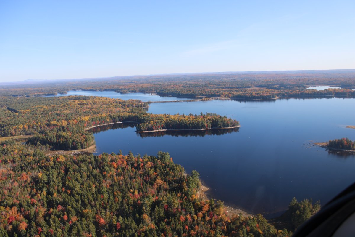
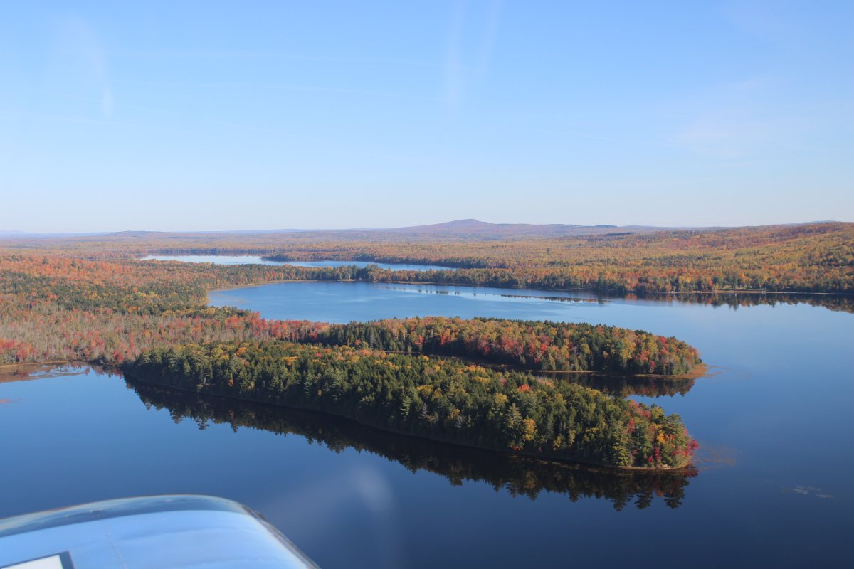
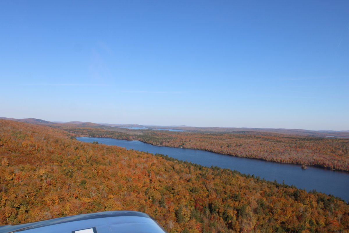
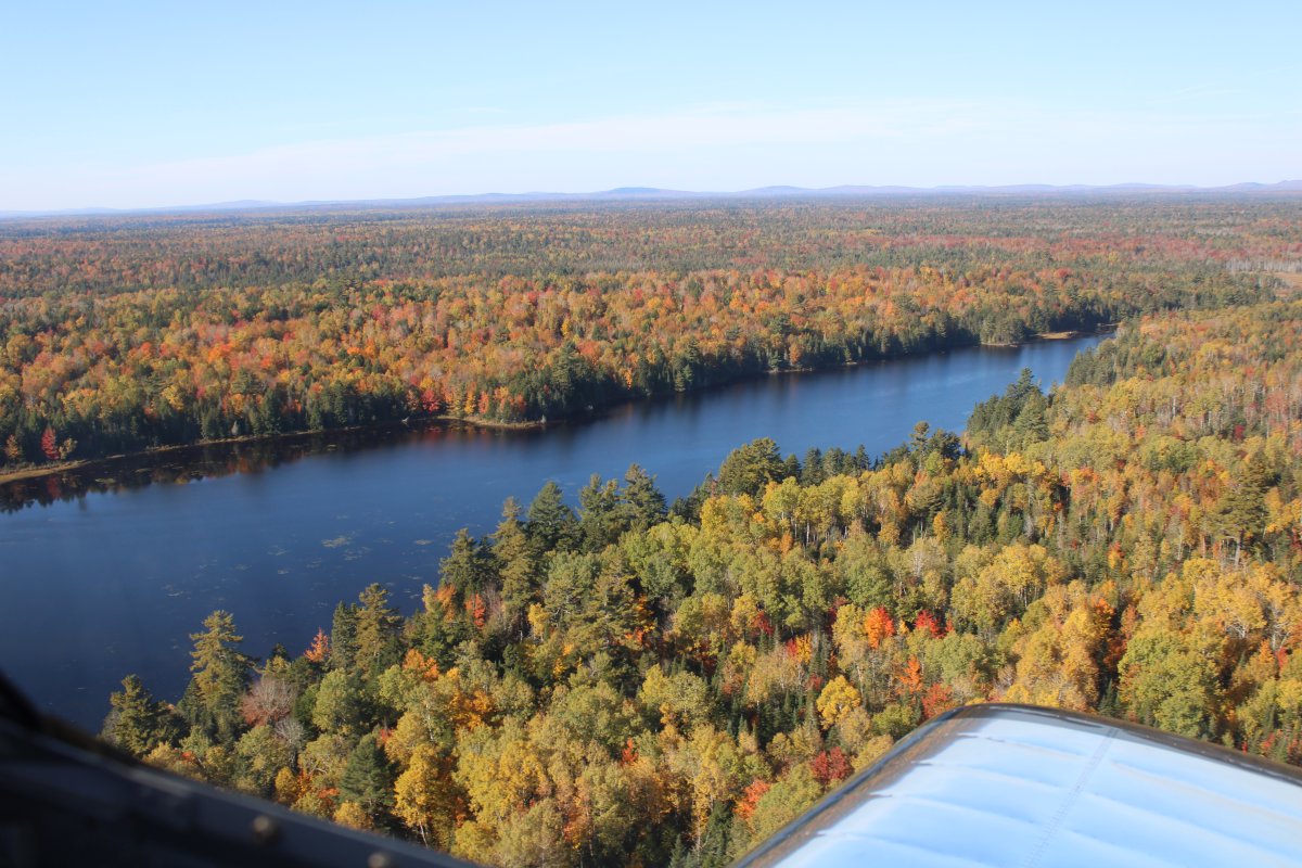
Crossing Upper Hot Brook Lake.
   
Now over Crooked Brook Flowage.
   
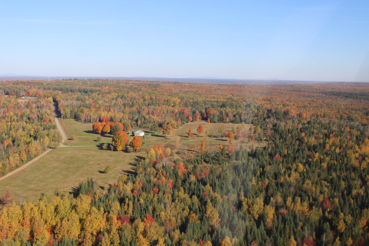
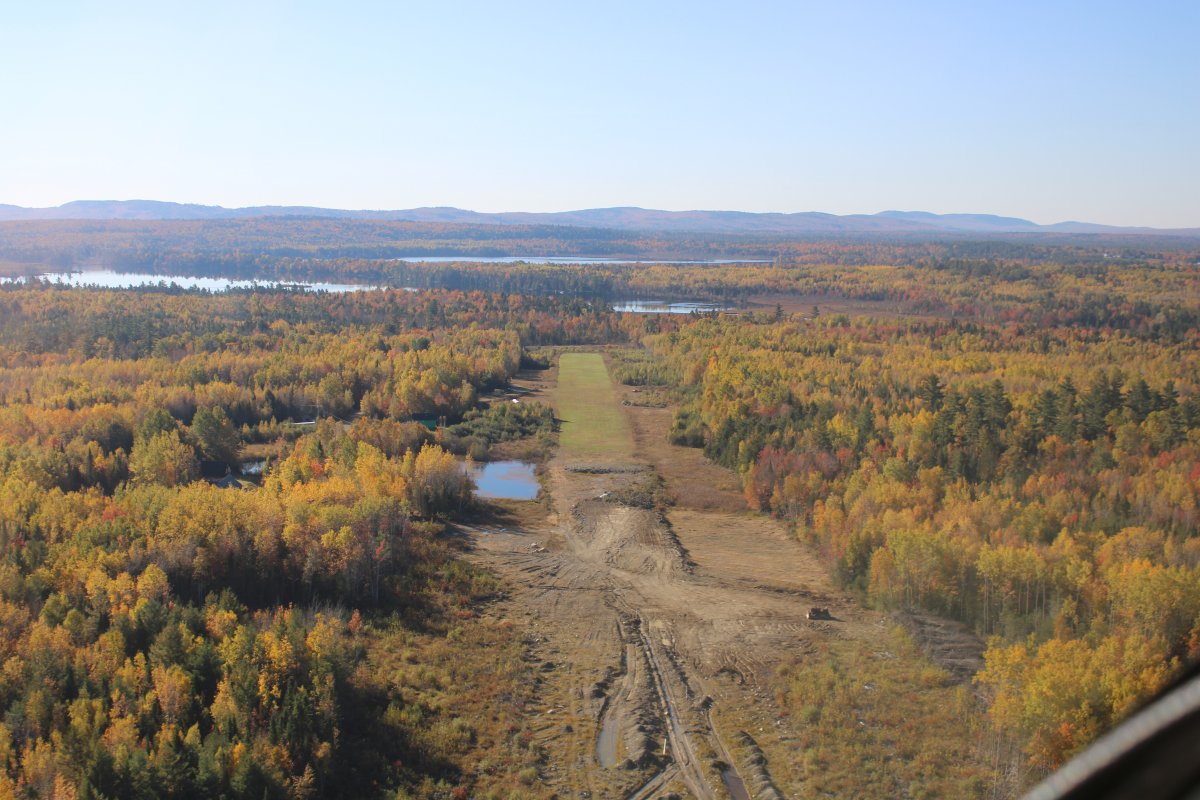
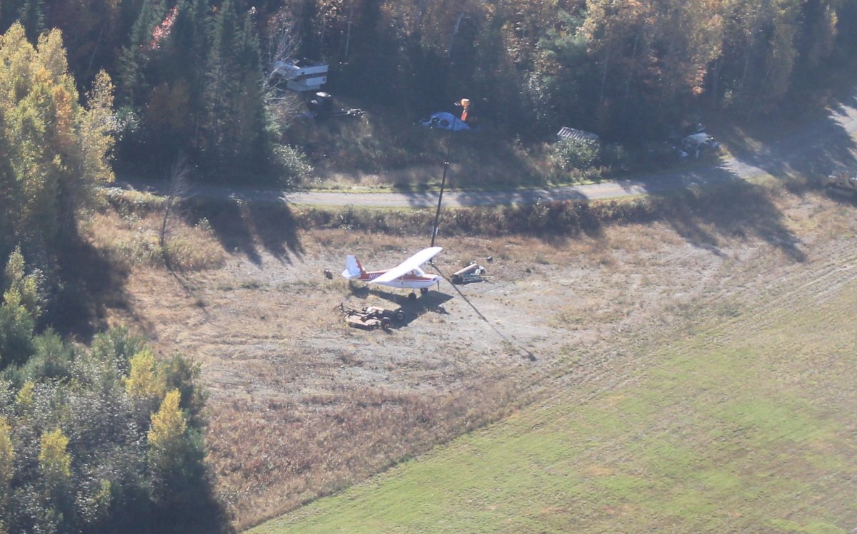
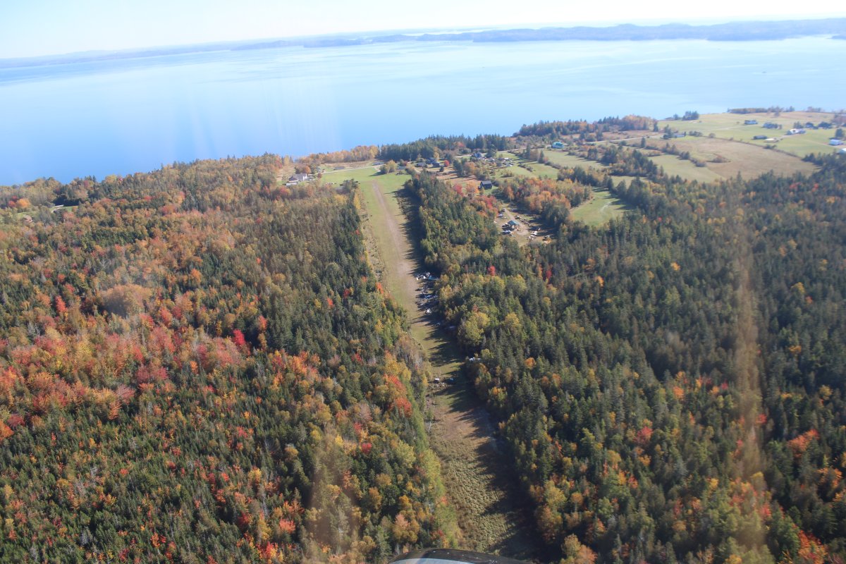
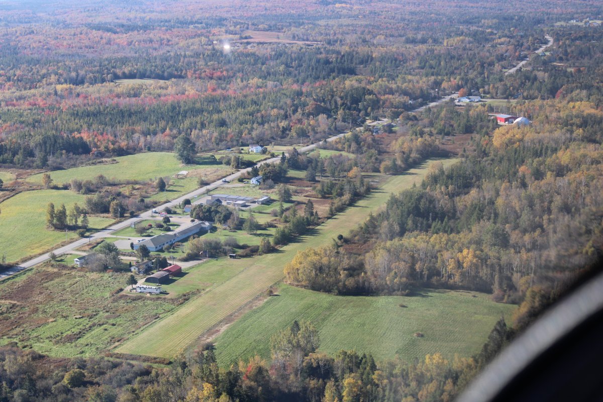
I turned southeast a short ways to check out Cowboys Air Ranch, a private grass strip.
   
There is even a Citabria down there.
   
I turn east over the forest.


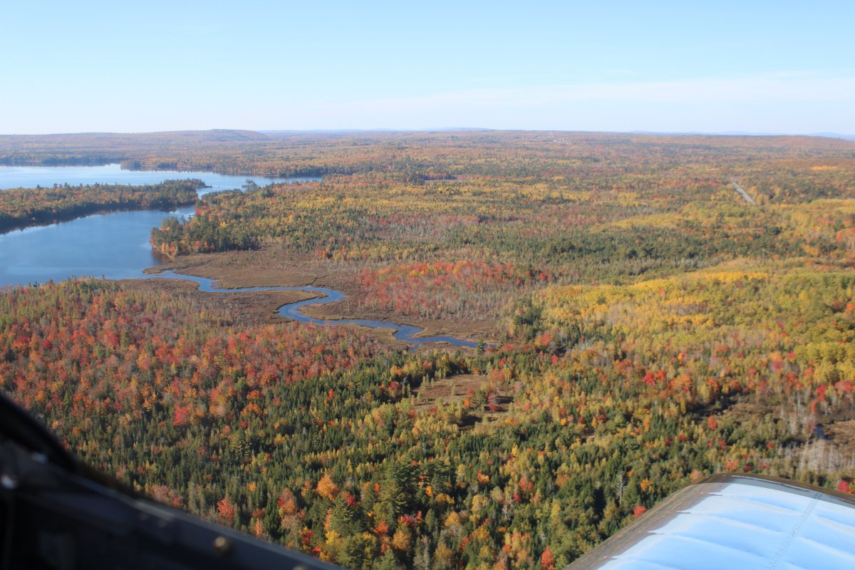
Passing by the southern end of Lambert Lake.


At some point I turn south and pick up the U.S./Canada border.


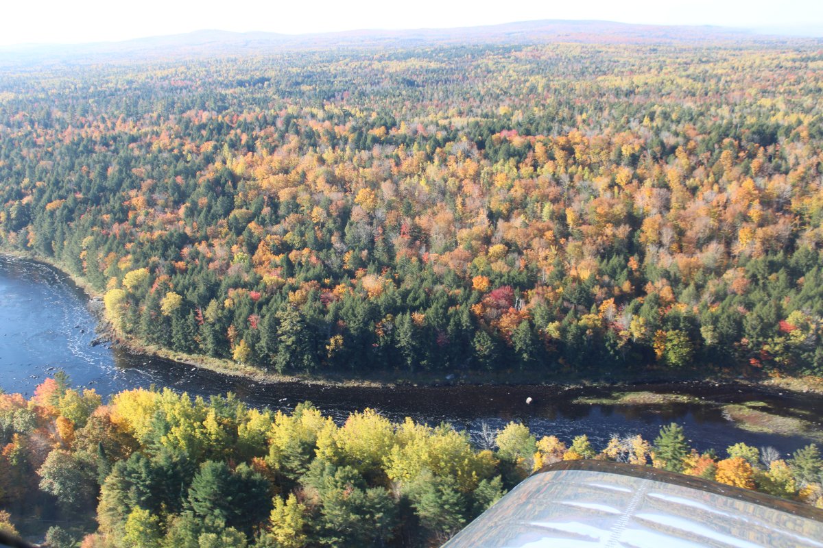
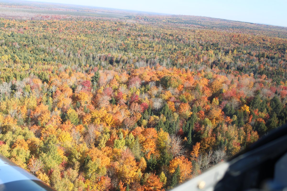
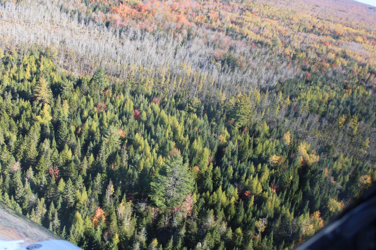
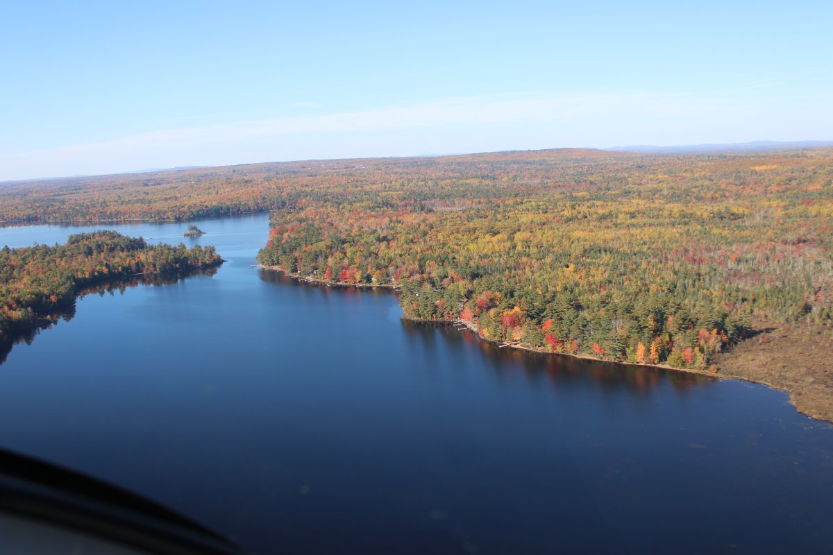
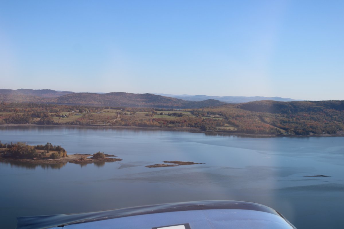
Not too populated around this neck of the woods.


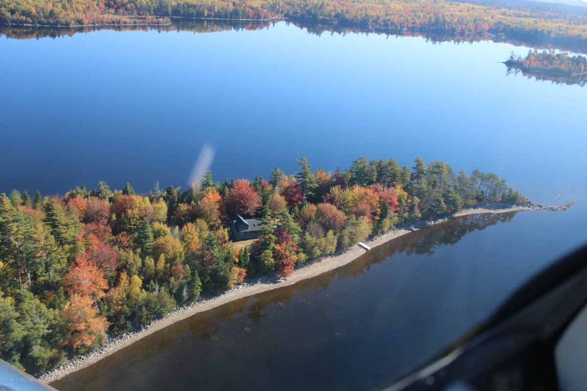
Secluded house on a peninsula.


Cruising down the southern bank of the St. Croix River Peninsula.  New Brunswick, Canada is on the other side.
   
Looking across the river at Canada.


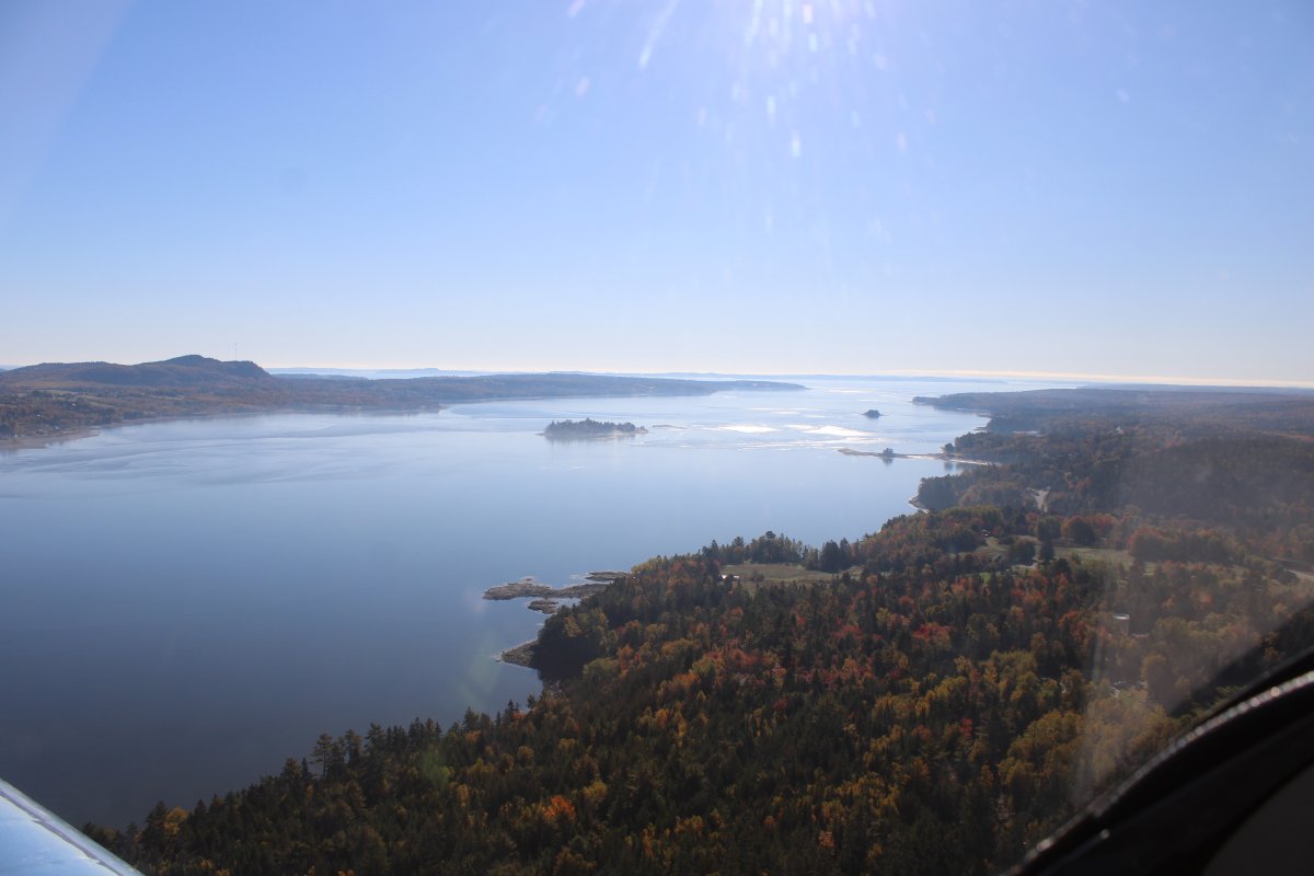
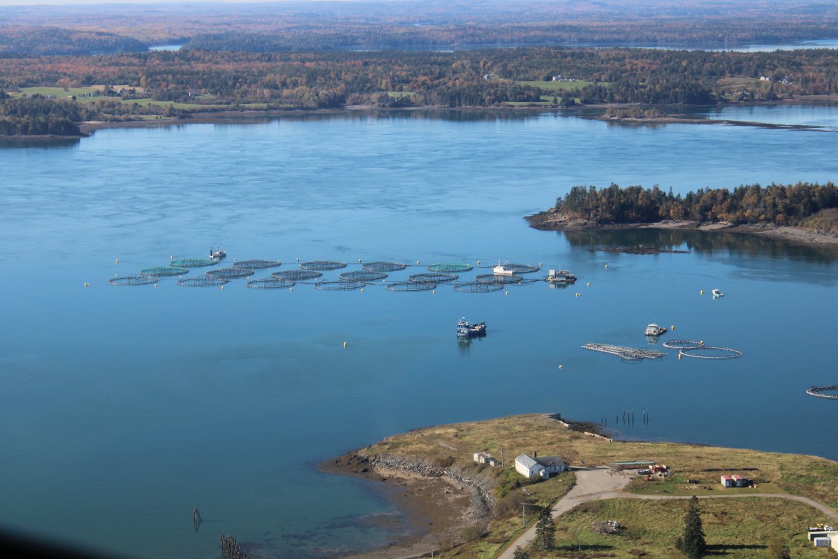
Looking across the river at the Canadian town of St. Andrews.  Beyond that is Passamaquoddy Bay.
   
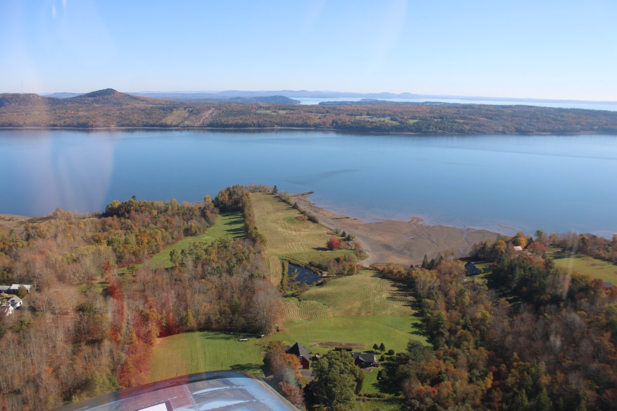
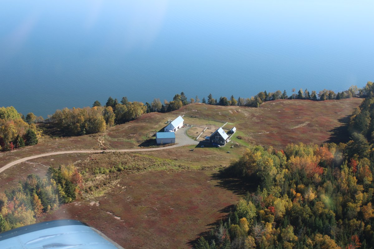
Little waterfront farm.
   
A private grass strip.
   
On the left:  is it river, bay or Atlantic Ocean?  Actually it is called the Western Passage.
   
Looking down at Eastport Municipal Airport (KEPM).
   
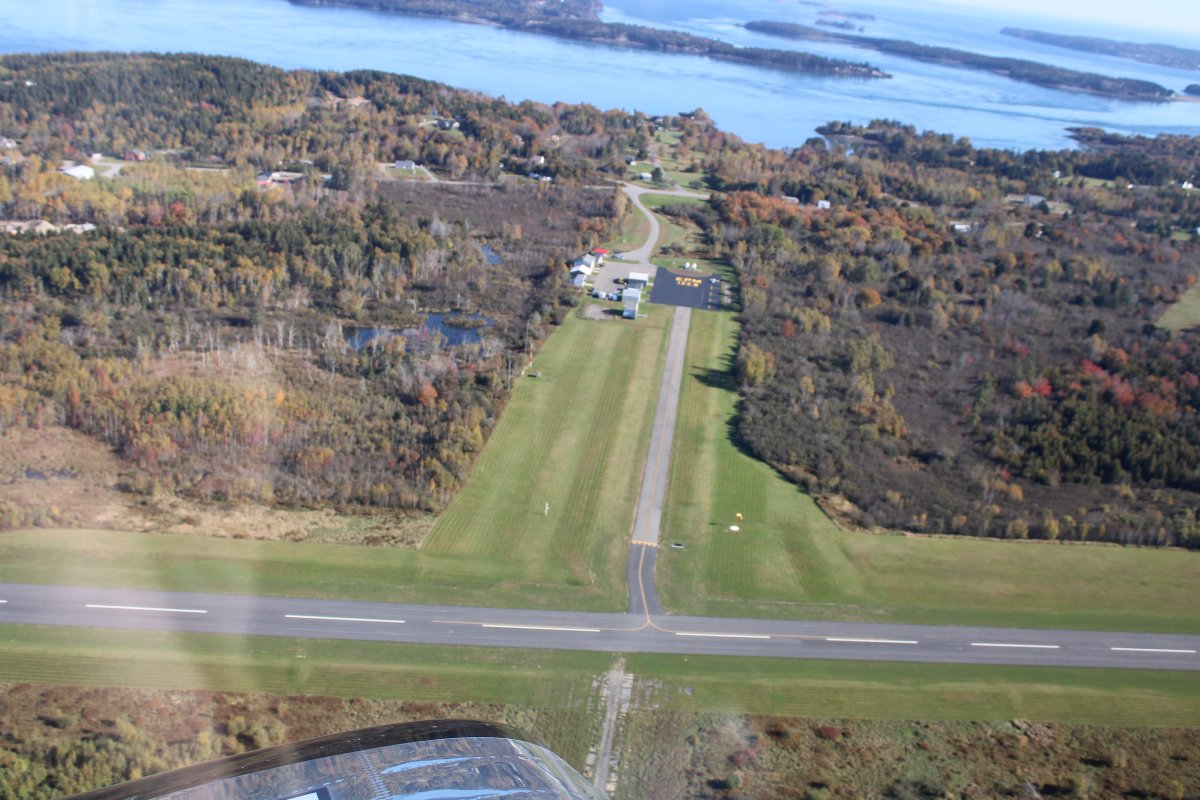
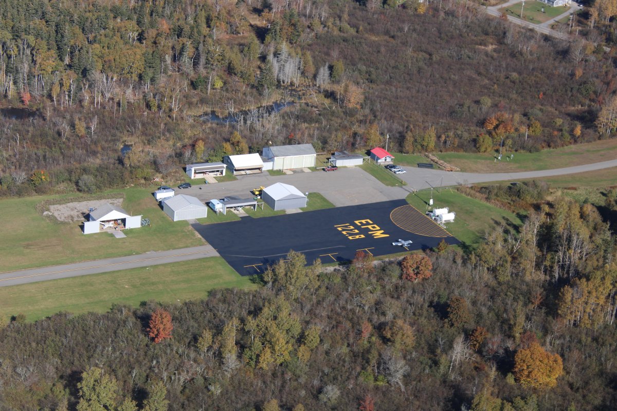
No doubt about what airport this one is!  Eastport is the most eastern city in the United States.   This airport has a courtesy car and might be an good overnight stop.


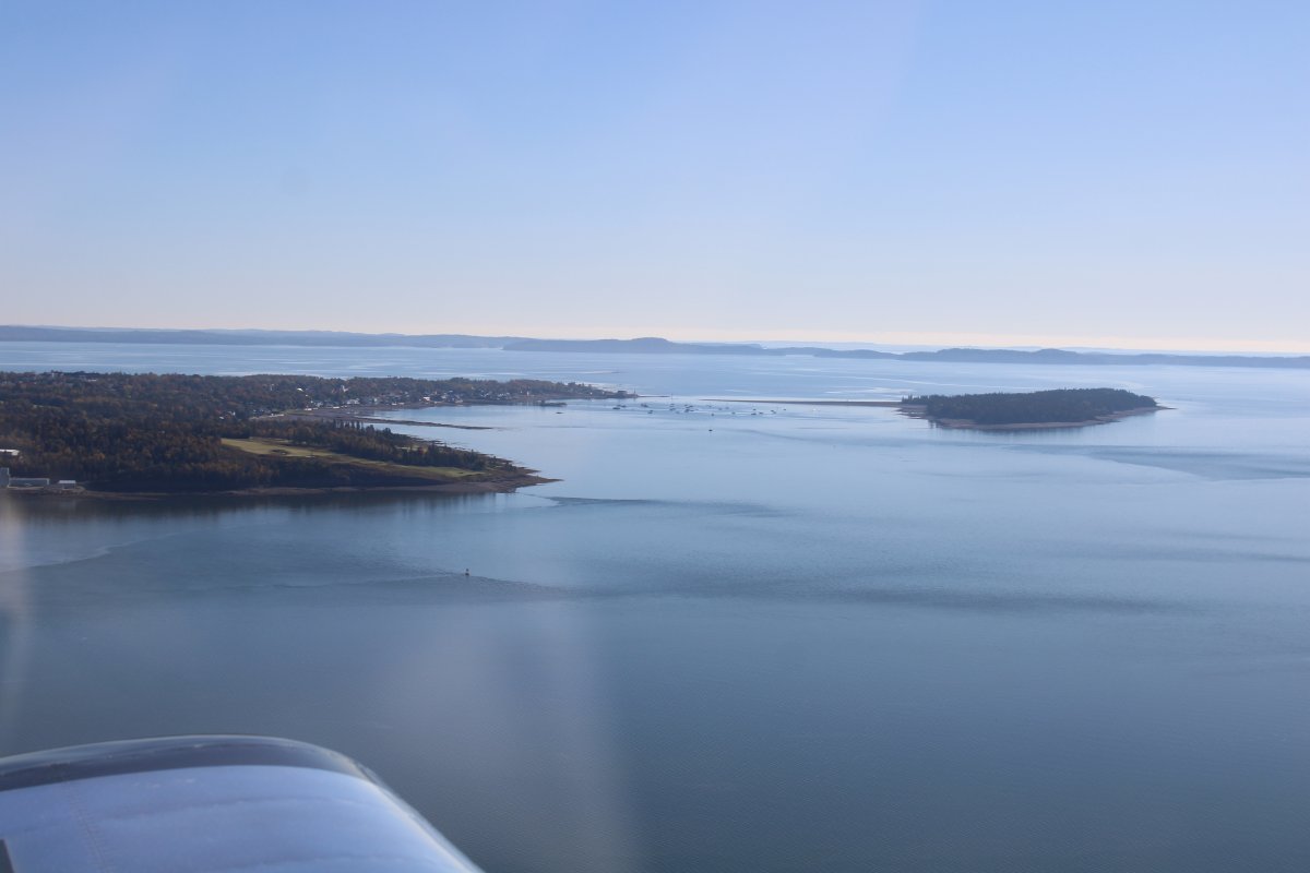
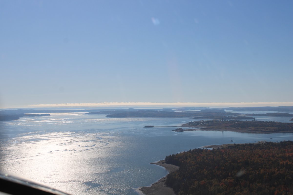
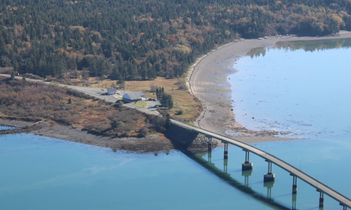
Approaching Treat Island at center right.   The big island at left and center is called Campobello Island and belongs to Canada.
   
Looking down at Lubec, Maine.  The bridge crosses into Canada.
   
Close-up.  You can see the border control station on the Canadian side i this shot.
   
Looking down at Lubec Municipal Airport (65B), a public grass strip.
   
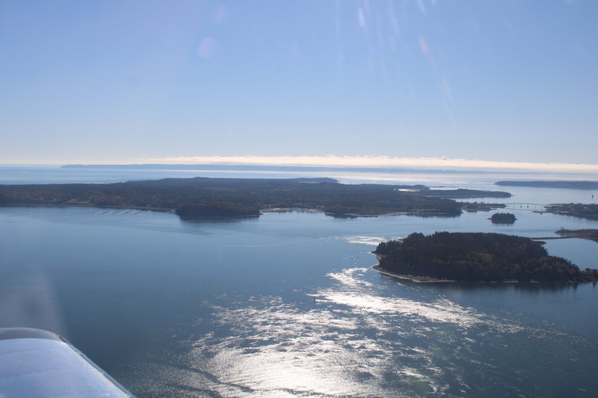
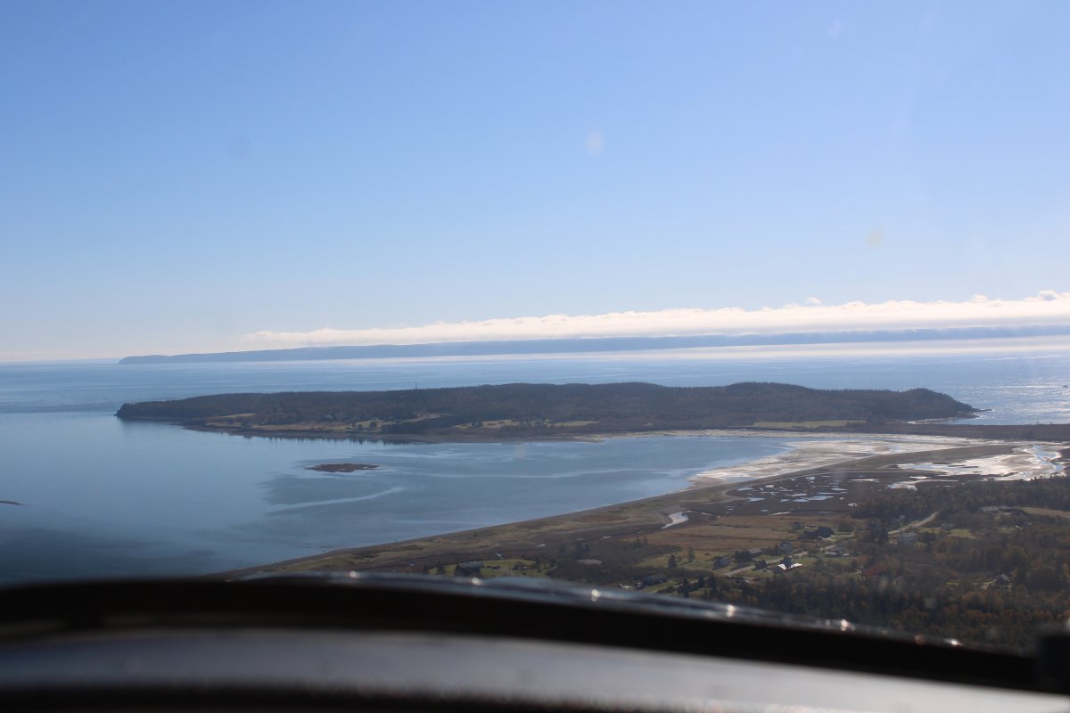
That peninsula dead ahead is West Quoddy Head.  There's a lighthouse on the left end; it's the most eastern point of Maine (and the United States).   Beyond is the Grand Manan Channel, then Grand Manan Island (Canada).  Beyond that is the Atlantic Ocean.


Previous
Home
Next